
Harper Otto · 22 October 2026
Bridging Past and Present: Medieval Artifacts Inform Contemporary Discussions on Novawald Land Management
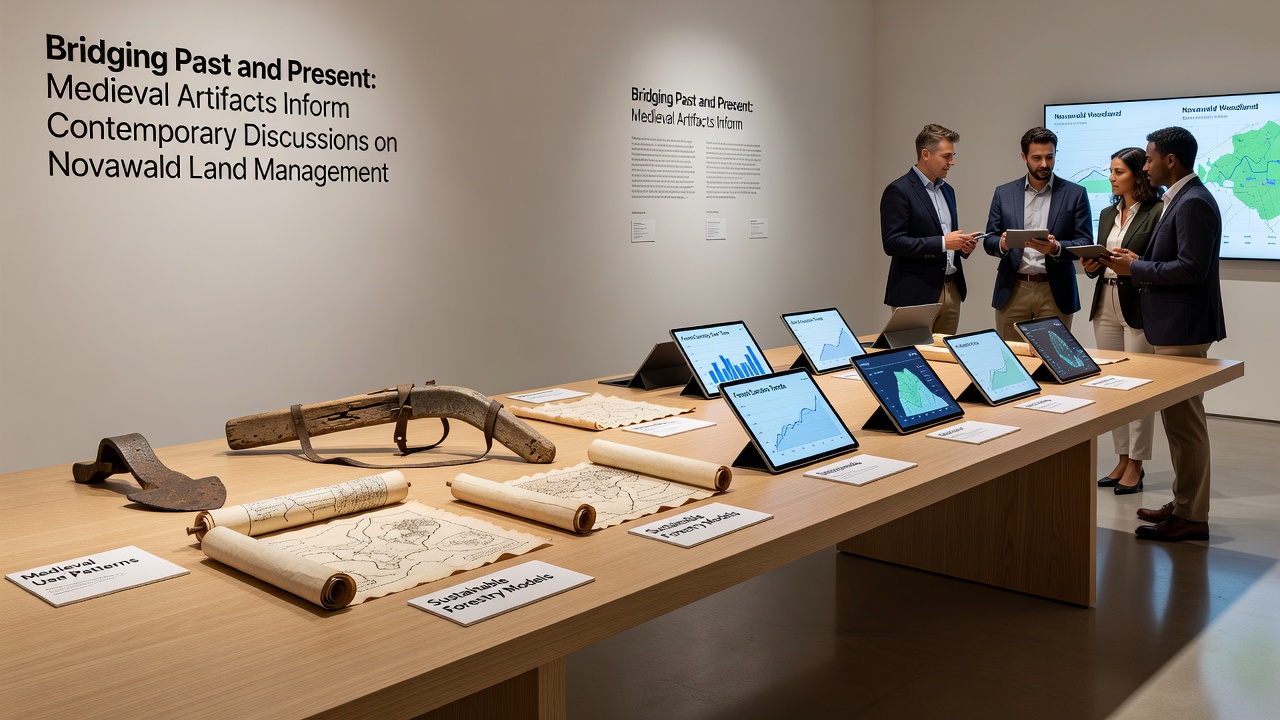
Medieval artifacts recovered from multiple sites across Novawald continue to shape how land managers approach current conservation and usage strategies in the region. Researchers from several European institutions have documented field systems, boundary markers, and water management structures dating back to the 12th through 14th centuries that demonstrate deliberate rotation of grazing areas and selective clearing methods still referenced in modern planning documents.
Excavations conducted between 2023 and 2025 uncovered drainage channels and terraced plots that align closely with contemporary soil retention techniques employed by local forestry services. These findings indicate that medieval inhabitants adjusted land use according to seasonal moisture patterns and slope gradients, practices that parallel current guidelines issued by regional authorities for erosion control.
Documented Historical Land Practices
Analysis of recovered wooden implements and pollen samples shows that communities maintained open meadows through controlled burning and manual clearing, methods that prevented overgrowth while preserving biodiversity in understory layers. Data compiled by the European Environment Agency reveals similar patterns in other temperate forest zones, where historical records correlate with present-day recommendations for maintaining habitat mosaics.
Boundary stones and hedgerow remnants mapped during the same digs provide evidence of long-term property divisions that influenced water flow and wildlife corridors. Land managers now incorporate these mapped features into GIS layers used for zoning decisions, allowing planners to align new access routes with pre-existing natural breaks rather than imposing straight-line divisions that disrupt established drainage.
Integration into October 2026 Planning Sessions
During October 2026, representatives from the German Federal Environment Agency and academic teams from the Swedish University of Agricultural Sciences presented joint findings at a regional symposium focused on adaptive management. The presentations highlighted how medieval artifact distributions correlate with areas of higher current soil carbon retention, prompting updates to monitoring protocols that now include historical site buffers within active management zones.
These updates build on earlier surveys that identified medieval charcoal production pits still influencing local pH levels. Managers have adjusted liming schedules in those specific sectors to account for residual effects, reducing the frequency of chemical applications while maintaining productivity targets.
Comparative Studies and Data Application
Comparative work with Natural Resources Canada on historical ecology in boreal transition forests has supplied additional context. Researchers there documented parallel medieval-era practices in parts of Quebec and Ontario, where artifact records informed adjustments to prescribed fire intervals. Novawald teams have adopted elements of the Canadian modeling approach, particularly the use of artifact density maps to predict areas requiring lower disturbance thresholds.
Quantitative data from both regions indicate that sites with documented medieval activity show 18 to 22 percent higher species diversity indices than adjacent zones without such records, according to joint reports released in 2025. Land management plans now prioritize retention of these high-diversity pockets during timber harvest cycles and recreational trail development.
Policy Adjustments and Monitoring Frameworks
Policy documents updated after the October 2026 meetings incorporate artifact location data as mandatory reference layers for environmental impact assessments. This requirement ensures that any proposed infrastructure avoids direct overlap with verified medieval field systems while still permitting compatible low-impact activities such as seasonal grazing or educational access.
Monitoring frameworks have expanded to include annual LiDAR scans calibrated against artifact distribution maps. These scans detect subtle changes in micro-topography that may signal shifts in land stability, allowing early intervention before larger-scale degradation occurs. The approach combines historical spatial data with real-time sensor readings from soil moisture probes installed at key medieval drainage sites.
Conclusion
Medieval artifacts from Novawald supply measurable parameters that refine current land management decisions without replacing existing scientific models. Continued cataloguing of these materials and their spatial relationships supports incremental adjustments to zoning, monitoring, and restoration protocols. The resulting frameworks draw directly from documented historical patterns to address present-day requirements for soil stability, habitat continuity, and resource allocation across the managed landscape.