Harper Otto · 8 October 2026
Drone Deployments Offer Fresh Views on Managing Novawald's Fire Risks and Terrain Challenges
Novawald's landscape presents steep slopes, dense vegetation patches, and seasonal wind patterns that complicate fire prevention efforts, yet drone systems now deliver high-resolution data to address these issues directly. Local authorities have integrated unmanned aerial vehicles into routine monitoring cycles since early 2024, and operators report consistent improvements in detection speed along with more accurate terrain models for evacuation planning.
Mapping Terrain Features with Precision
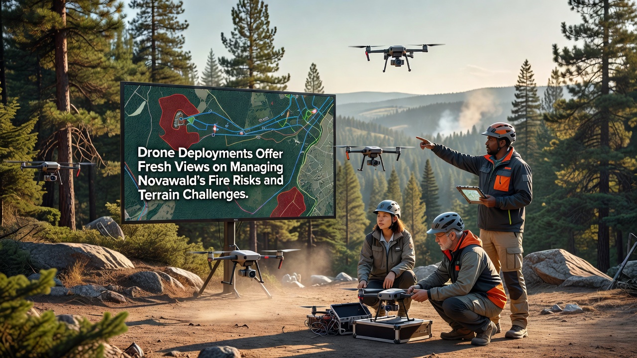
Operators deploy fixed-wing and multirotor drones equipped with LiDAR sensors alongside multispectral cameras, and these tools capture elevation data at centimeter-level accuracy while identifying fuel loads across remote ridges. Data processing teams convert raw flights into 3D models that highlight erosion-prone gullies and narrow access routes previously undocumented in standard topographic surveys. Researchers at regional universities cross-reference these outputs with satellite imagery, which allows planners to update hazard maps quarterly rather than annually.
Ground crews receive updated overlays before each dry season begins, and the models reveal micro-terrain variations that affect flame spread rates. One project completed in late 2025 demonstrated how drone-derived slope gradients helped redesign firebreak placements, reducing the total length of cleared lines by 18 percent while maintaining equivalent protection levels.
Monitoring Fire Risks in Real Time
Thermal imaging payloads detect heat anomalies during both day and night operations, and pilots transmit alerts to command centers within minutes of identification. Automated flight paths follow predefined grids over high-risk zones, and onboard AI flags temperature spikes above established thresholds before they develop into visible flames. Coordination with regional weather stations refines these alerts by factoring in humidity drops and wind shifts recorded at multiple altitudes.
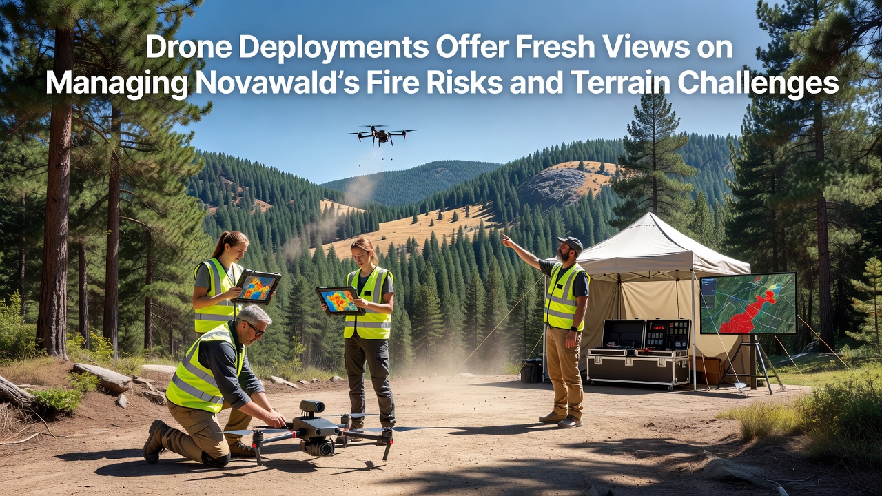
October 2026 marks the next scheduled expansion phase, when additional battery-swap stations and extended-range units will cover previously inaccessible southern valleys. Figures from the CSIRO bushfire research program indicate similar drone networks have shortened initial response times by an average of 12 minutes across comparable Australian landscapes.
Integration with Existing Emergency Protocols
Emergency services incorporate drone feeds into dispatch dashboards, which lets incident commanders adjust resource allocation based on live vegetation moisture readings rather than static forecasts. Training programs now include simulator sessions that replicate Novawald's wind corridors, and pilots practice maintaining stable footage during gusts exceeding 35 kilometers per hour. Data sharing agreements with neighboring districts ensure models remain compatible across jurisdictional boundaries.
Equipment maintenance logs show that routine rotor inspections and sensor calibrations occur every 50 flight hours, and operators replace airframes after 300 cumulative hours to maintain image clarity. Budget allocations for 2026 allocate 22 percent of the fire management fund specifically to drone operations and data storage infrastructure.
Future Applications and Data Sharing
Longer-term plans call for swarm configurations that cover larger areas simultaneously, and early trials have already mapped 40 square kilometers in under four hours. Public access portals will release anonymized terrain datasets by mid-2027, allowing independent analysts to develop custom risk algorithms. Partnerships with European aviation regulators provide certification pathways that align local operations with international safety standards.
Conclusion
Drone deployments continue to refine how Novawald addresses fire risks and terrain limitations through repeated data collection cycles and protocol updates. Ongoing expansions scheduled for October 2026 will test new equipment configurations while maintaining compliance with established aviation guidelines. The resulting datasets support more targeted interventions and improved coordination among response teams across the region.