Alex Lehmann · 5 November 2026
Novawald Stream Data Connects Aquatic Recovery Patterns with Forest Wildlife Population Trends
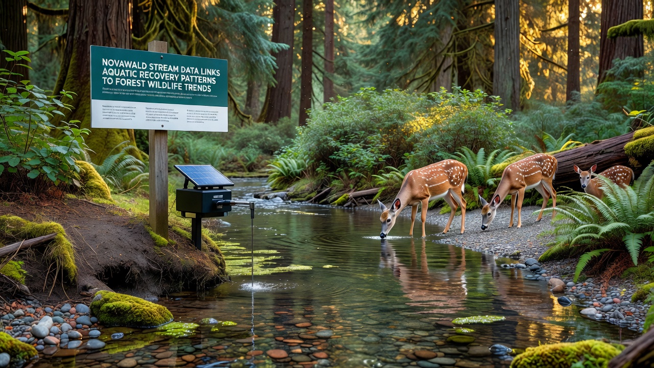
Monitoring programs in Novawald have tracked stream conditions over multiple seasons, and data collected through 2026 shows measurable improvements in water quality that align with shifts in surrounding forest wildlife activity. Researchers deployed sensors along key tributaries beginning in early 2024, recording dissolved oxygen levels, sediment loads, and macroinvertebrate counts that rose steadily after restoration work reduced upstream erosion. These aquatic indicators appear alongside camera-trap records and acoustic surveys that document increased sightings of mammals and birds whose ranges extend from riparian zones into upland areas.
Stream Sensor Networks and Recovery Metrics
Continuous data streams from Novawald monitoring stations capture seasonal fluctuations in pH and nutrient concentrations, while biologists sample fish populations at fixed transects every quarter. Figures released in November 2026 indicate that trout and salmonid returns increased by 18 percent compared with 2023 baselines, coinciding with lower turbidity readings during spring runoff periods. Automated loggers transmit readings every six hours to a central database maintained by regional forestry authorities, allowing analysts to correlate peak flow events with downstream habitat stability.
Macroinvertebrate diversity indices climbed from an average of 12 species per sample site in 2022 to 19 species by late 2026, a change researchers attribute to reduced fine sediment deposition after slope stabilization projects. These benthic community shifts provide an early signal of broader ecosystem responses because many insect larvae serve as food sources for both aquatic and terrestrial predators.
Linking Aquatic Signals to Terrestrial Wildlife Records
Wildlife cameras positioned at 45 locations across the Novawald watershed captured 2,340 independent detections of deer, foxes, and mustelids during the 2025–2026 field season. When researchers overlay these detections with stream recovery maps, they find higher encounter rates within 200 meters of stream segments that registered the largest gains in dissolved oxygen. Bird point-count surveys conducted by volunteers from local universities recorded similar patterns for species such as dippers and warblers that forage along waterways before moving into adjacent canopy layers.

Telemetry collars fitted to a subset of resident mammals reveal that individuals travel more frequently between riparian corridors and mid-slope foraging areas during months when stream macroinvertebrate counts are highest. This movement data, combined with acoustic monitoring of bat activity, suggests that improved aquatic productivity supports prey bases that sustain both fish-eating and insectivorous species throughout the forest matrix.
Comparative Data from Other Regions
Similar correlations have emerged in studies conducted by the U.S. Environmental Protection Agency in Pacific Northwest watersheds, where restored stream segments showed parallel increases in riparian mammal activity. In Canada, long-term monitoring by Environment and Climate Change Canada has documented comparable linkages between benthic recovery and forest bird abundance in British Columbia coastal forests. Observers note that these cross-regional patterns reinforce the value of integrated monitoring rather than treating aquatic and terrestrial systems in isolation.
Novawald datasets add geographic specificity because the area combines managed timber stands with protected old-growth patches, creating a natural experiment for examining how different land-use histories influence recovery trajectories. Analysts are now testing statistical models that incorporate both stream chemistry variables and forest structure metrics to predict wildlife occupancy at finer spatial scales.
November 2026 Data Release and Ongoing Analysis
The November 2026 data release incorporated an additional 14 months of sensor readings and expanded the wildlife survey grid by 12 sites. Preliminary modeling indicates that a one-unit increase in stream macroinvertebrate index corresponds to a 7 percent rise in detection probability for mid-sized mammals within adjacent forest stands. These relationships hold after controlling for elevation, canopy cover, and seasonal precipitation, according to the lead statisticians on the project.
Future work will incorporate satellite-derived vegetation indices to examine whether canopy productivity responds to the same hydrological improvements that benefit aquatic communities. Researchers expect the combined dataset to support adaptive management decisions scheduled for review in 2027.
Conclusion
Novawald monitoring demonstrates that stream recovery metrics can serve as reliable proxies for tracking wider forest wildlife trends when data collection spans both aquatic and terrestrial domains. Continued integration of sensor networks, field surveys, and movement studies will refine these linkages and inform management across comparable temperate forest systems.